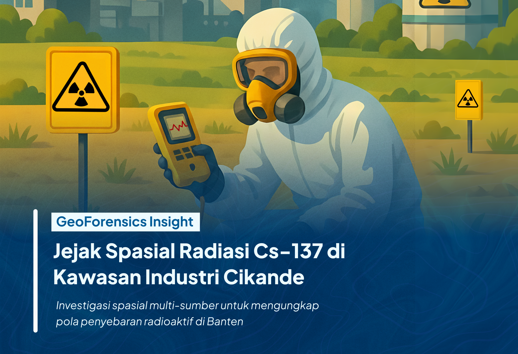
Geo-Intelligence for Data-Driven Decisions

Empower Your Decision Making in Disaster Resiliencewith Our Next Generation Geo-Intelligence

Unlock new possibilities with cutting-edge geospatial technology. Analyze, predict, and act with confidence to build a more sustainable future.

Ilustrasi Platform Geospasial

Unlock Hidden Insights with Our Advanced Data Analytics

Go beyond the numbers—our solutions process data to understand your environment, helping you solve problems and meet your needs.

Learn More

landing-illustration
Precise analysis-icon

Precise analysis

Our advanced algorithms ensure high accuracy in data interpretation.

Large-scale data processing-icon

Large-scale data processing

Handle vast amounts of geospatial data seamlessly.

Actionable insights-icon

Actionable insights

Get processed data ready for strategic business or governmental decision-making.

Decision Support System at Your Fingertips

Engage with data like never before through our interactive geospatial platforms. Store, visualize, analyze, and collaborate for any of your case, transforming exploration and decision-making.

Learn More

landing-illustration
Easy-to-use interface-icon

Easy-to-use interface

Designed for both GIS experts and beginners.

Interactive data visualization-icon

Interactive data visualization

Explore geospatial data through intuitive maps and graphics.

Real-time data access-icon

Real-time data access

Retrieve live data from various sources for up-to-date insights.

From Complexity to Clarity: Discover the Power of Spatial with Our All-in-One Solution

A complete package for your needs. We will handle the heavy lifting—processing, analysis, and visualization within our ecosystem—so you can focus on making impactful decisions.

Learn More

landing-illustration
Comprehensive geospatial solution-icon

Comprehensive geospatial solution

Process and visualize data in one integrated system.

Customizable for your needs-icon

Customizable for your needs

Tailor our tools to fit your project, whether in government, business, or environmental sectors.

Scalable tools-icon

Scalable tools

Adapt the platform as your data and project scale grows.

Why Choose Us

At GISACT, every solution is backed by rigorous scientific research, ensuring accuracy, reliability, and credibility in geospatial data solutions.

Logo CRS
Logo Gisact

GISACT as Innovation Hub of CRS-ITB

We are an innovation hub established by the Center for Remote Sensing - Institut Teknologi Bandung (CRS-ITB), dedicated to creating impactful geospatial solutions through collaborative research and development. Recognized as the most productive geospatial lab in Indonesia for top-tier journal publications by SINTA (Science and Technology Index, Ministry of Higher Education), CRS-ITB leads the way in advancing geospatial science globally. At GISACT, with a strong foundation in scientific research and geospatial expertise, we foster collaboration among scientists, developers, industry, government, and communities to tackle pressing challenges and drive meaningful impact.

Research-Driven Solutions for a Better Tomorrow

Our foundation lies in years of in-depth research and innovation. With over 50+ publications and a team of renowned geospatial experts, GISACT delivers solutions you can trust.

60+ Top-Tier International Publications (Q1)

10+ International Collaborations

Proprietary Algorithms for Data Accuracy

Illustration Why Choose Us

Explore Our Publications

Featured Awards

SINTA Award

Awarded as Most Productive Researchers

Prof. Ketut Wikantika & Dr. Anjar Dimara Sakti recognized for outstanding research contributions.

Learn More
2025 GEO SDG Awards

Awarded the 2025 GEO SDG Award for Academia

Honored for impactful contributions to sustainable development through geospatial innovation.

Learn More
UNDP Plastic Hero Awards 2025

UNDP Plastic Hero Awards 2025

For contributions to plastic waste reduction and environmental action.

Learn More
Another Award SINTA

Another Most Productive Researchers

More outstanding research contributions.

Learn More
2025 GEO SDG Awards

Awarded the 2025 GEO SDG Award for Academia

Honored for impactful contributions to sustainable development through geospatial innovation.

Learn More
UNDP Plastic Hero Awards 2025

UNDP Plastic Hero Awards 2025

For contributions to plastic waste reduction and environmental action.

Learn More

Discover articles and tutorials to help you build better

Ilustrasi untuk Geointelligence Wujudkan Kota Terbarukan Dengan Strategi Pembangunan Solar PV

Geointelligence Wujudkan Kota Terbarukan Dengan Strategi Pembangunan Solar PV

Kenaikan suhu global mendorong peralihan ke energi terbarukan seperti solar PV. Artikel ini membahas bagaimana GISACT memanfaatkan geointelligence, menggabungkan Digital Surface Model (DSM) resolusi tinggi, machine learning, dan data satelit, untuk memodelkan potensi energi surya di perkotaan secara akurat. Inovasi ini mengatasi tantangan keterbatasan lahan dan data, mendukung perencanaan kota berkelanjutan dan implementasi smart city dengan energi bersih.

Ilustrasi untuk GISACT at Geo Connect Asia 2025: Advancing Indonesia's Geospatial Innovation

GISACT at Geo Connect Asia 2025: Advancing Indonesia's Geospatial Innovation

Geo Connect Asia 2025 served as a vibrant hub for networking, learning, and collaboration among stakeholders across geospatial sectors, such as infrastructure, urban planning, environmental monitoring, and mobility. The 2025 edition featured a comprehensive exhibition alongside a series of specialized conferences, including the Geo Autonomy Summit, APAC Earth Observation Forum, Digital Underground Connect, and the Asian Aerial Mapping Forum. These sessions facilitated in-depth discussions on integrating geospatial data into various sectors, from urban planning to environmental monitoring

Frequently Asked Questions

Everything you need to know about the product and service.

Loved by our partners